Dronotec has been active since 2014, with hundreds of assignments carried out in France and Europe, bringing technological solutions for post-disaster expertise.
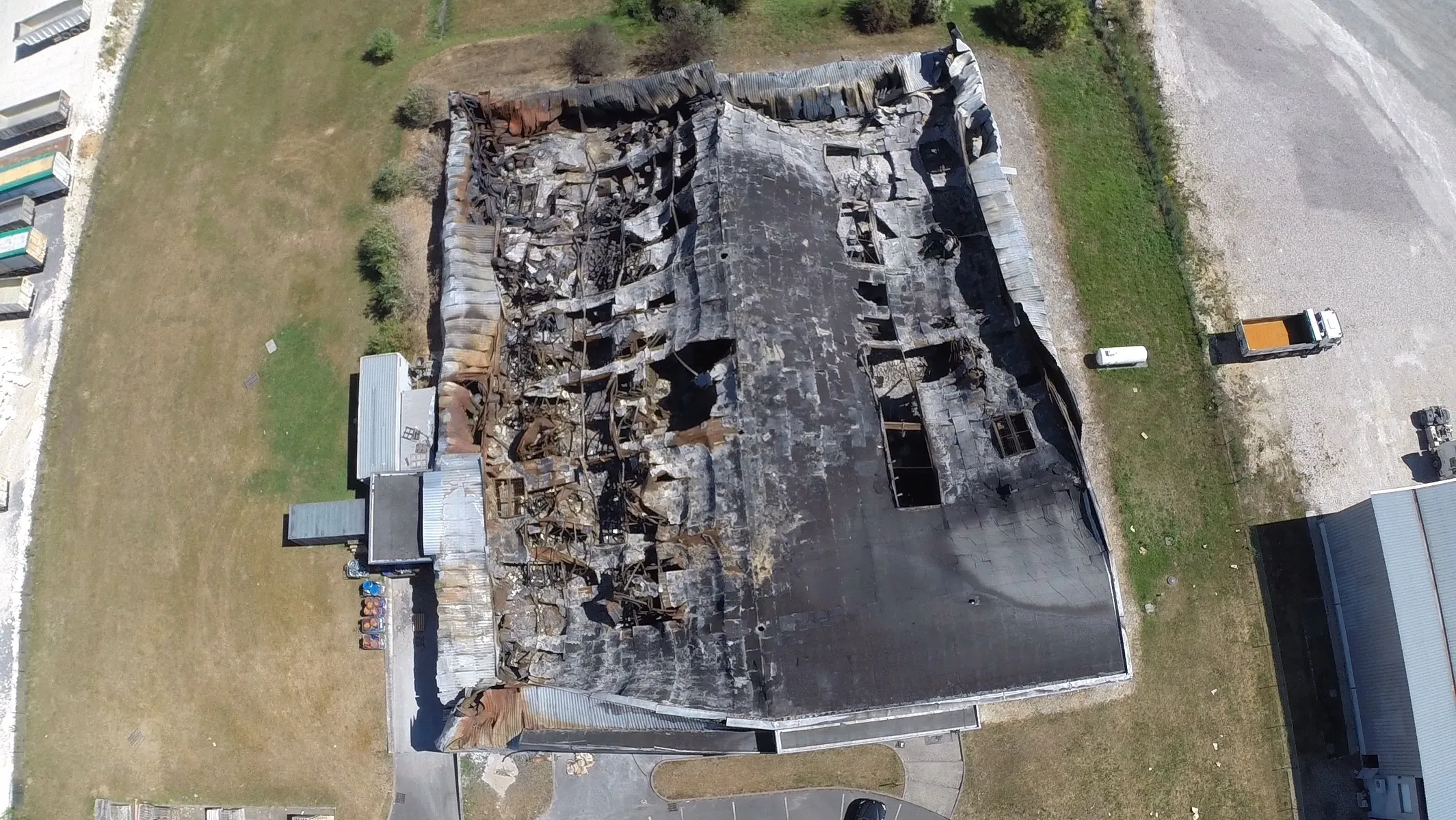
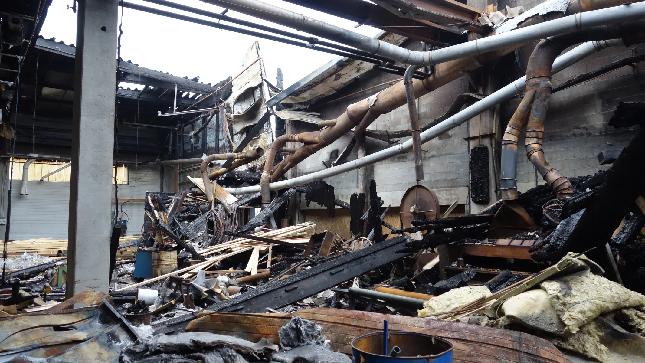
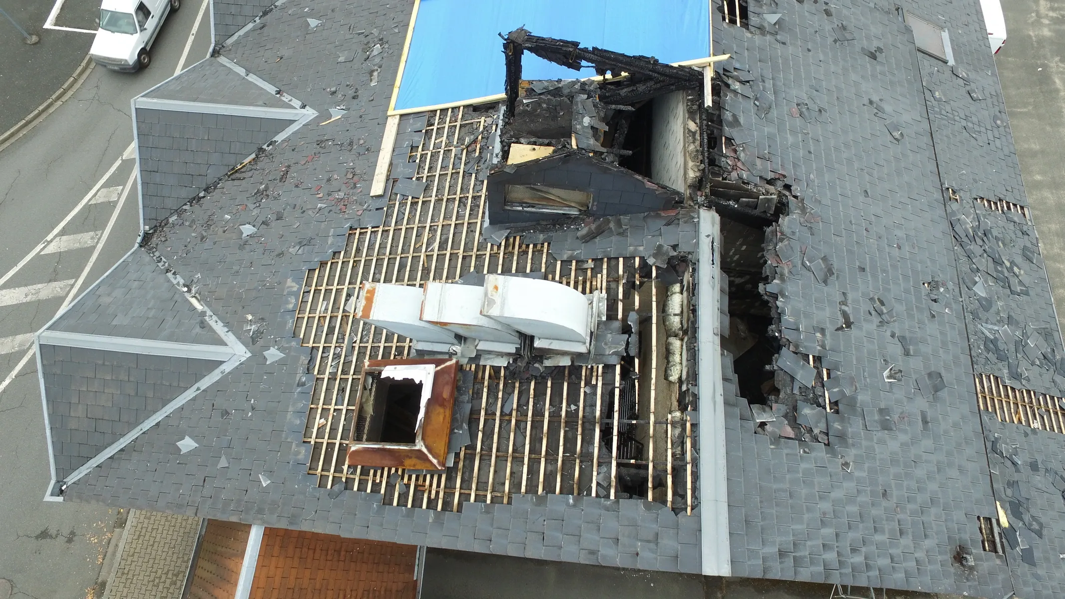
Reconstructing and analyzing disaster scenes
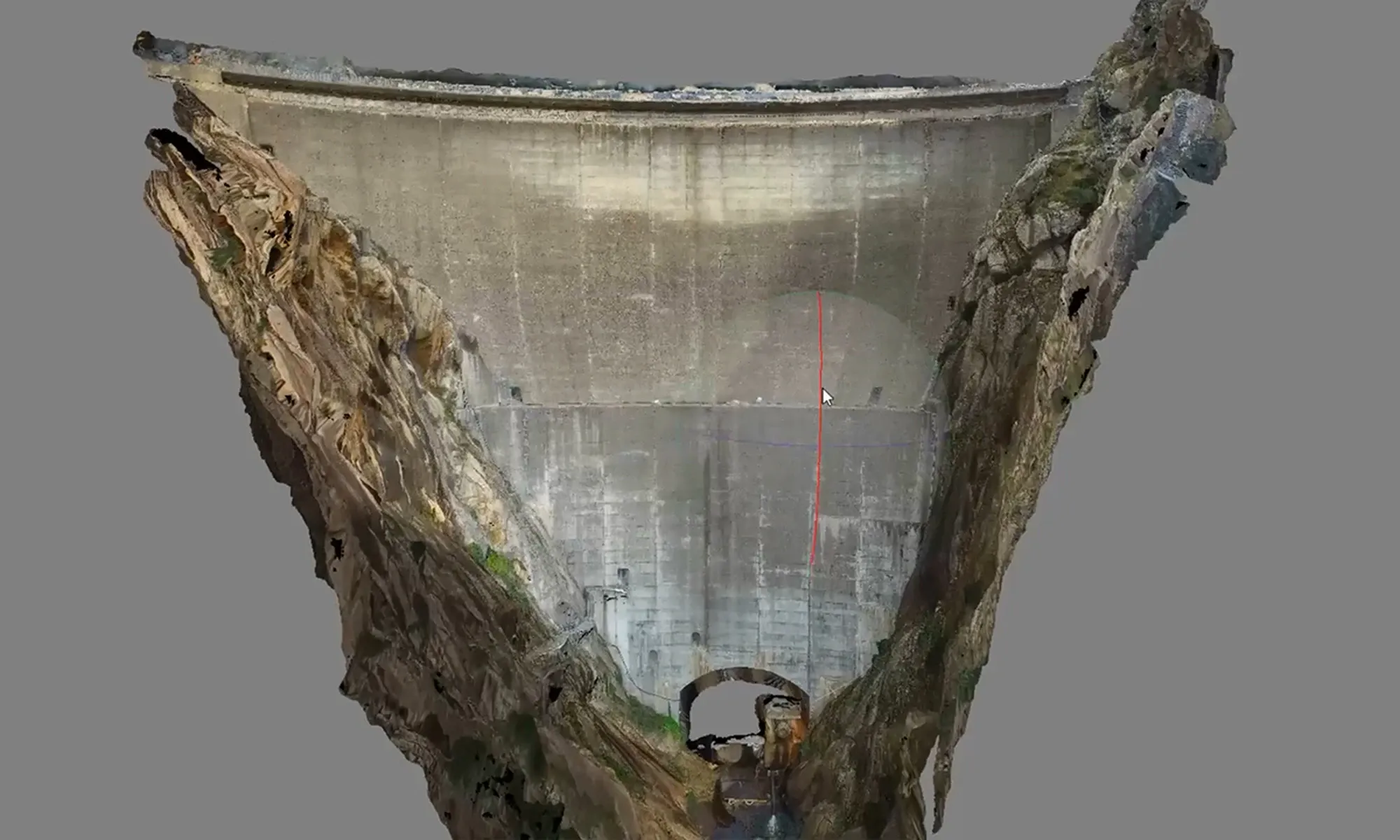
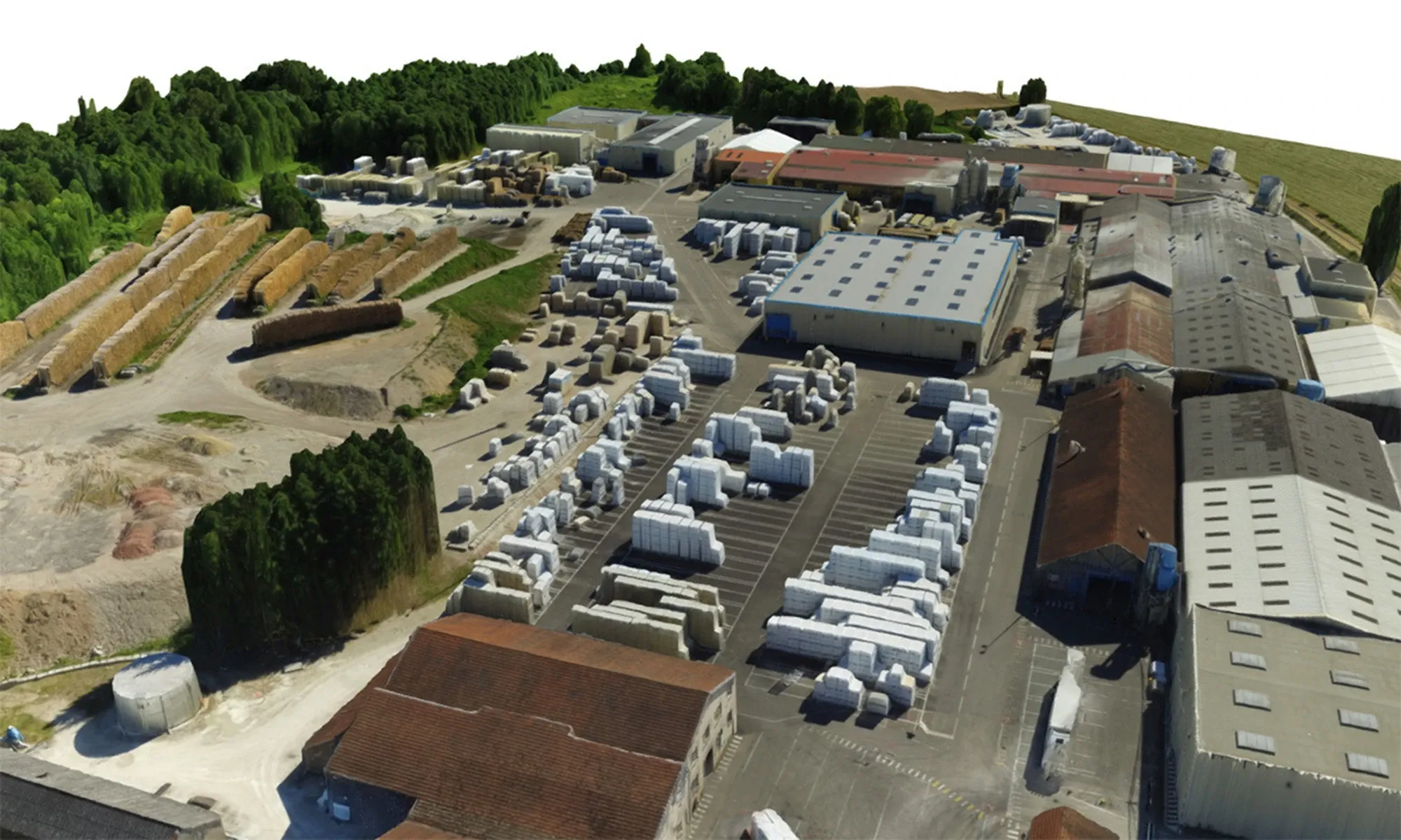
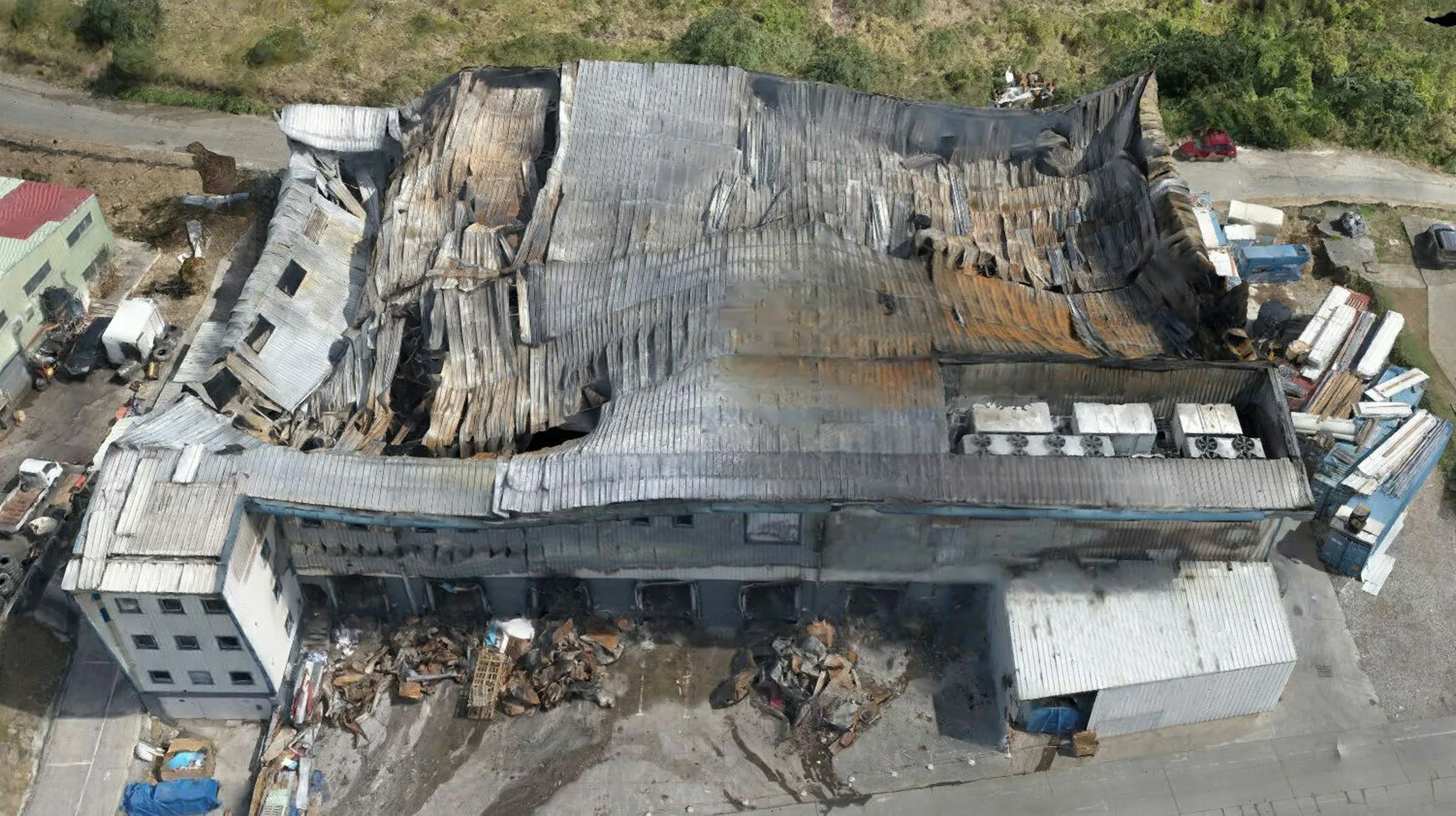
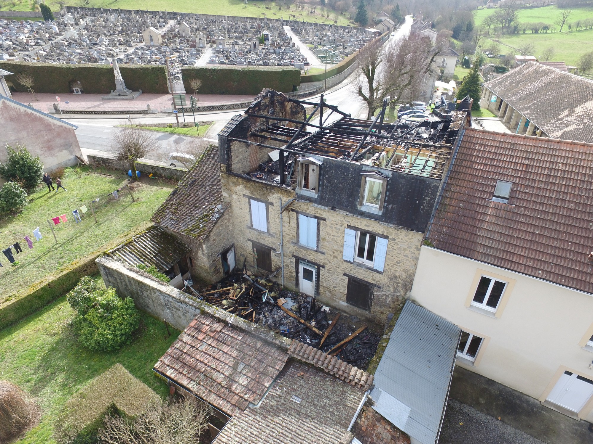
Using our drones and 3D scanners, we digitally reconstruct disaster scenes and produce plans, immersive virtual tours and interactive mapping. The drone survey provides a global view to assess the extent of damage, support the search for causes and circumstances, and establish conservatory measures, thus reducing costs. Our data processing service provides side-by-side plans, thermal reports, topographic surveys, as well as capturing under a bailiff's certificate, guaranteeing accurate, usable records.