ARCHITECTURE, CONSTRUCTION, ENGINEERING

DRONE SITE MONITORING

DISCOVER ALL OUR AREAS OF EXPERTISE
follow-me-by-drone

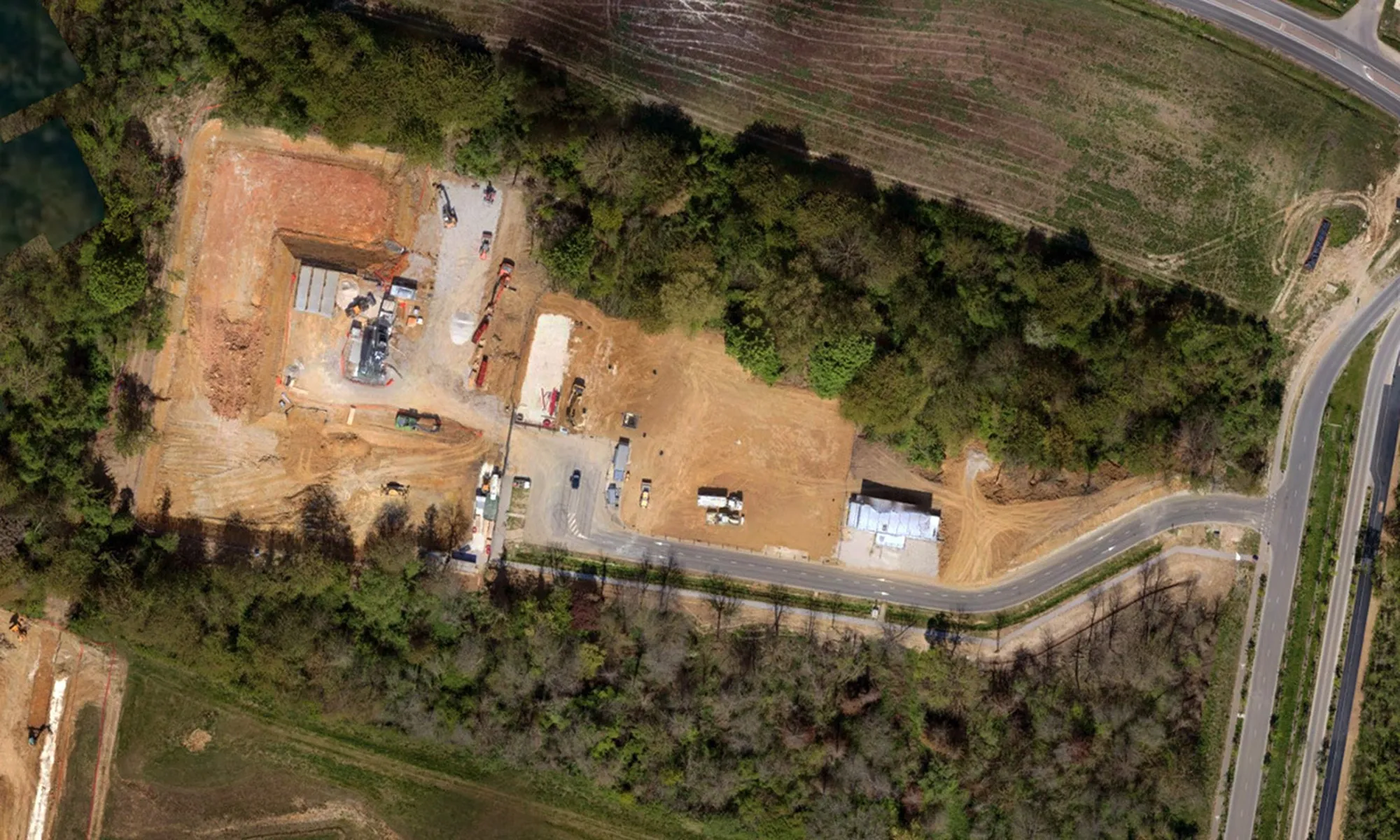
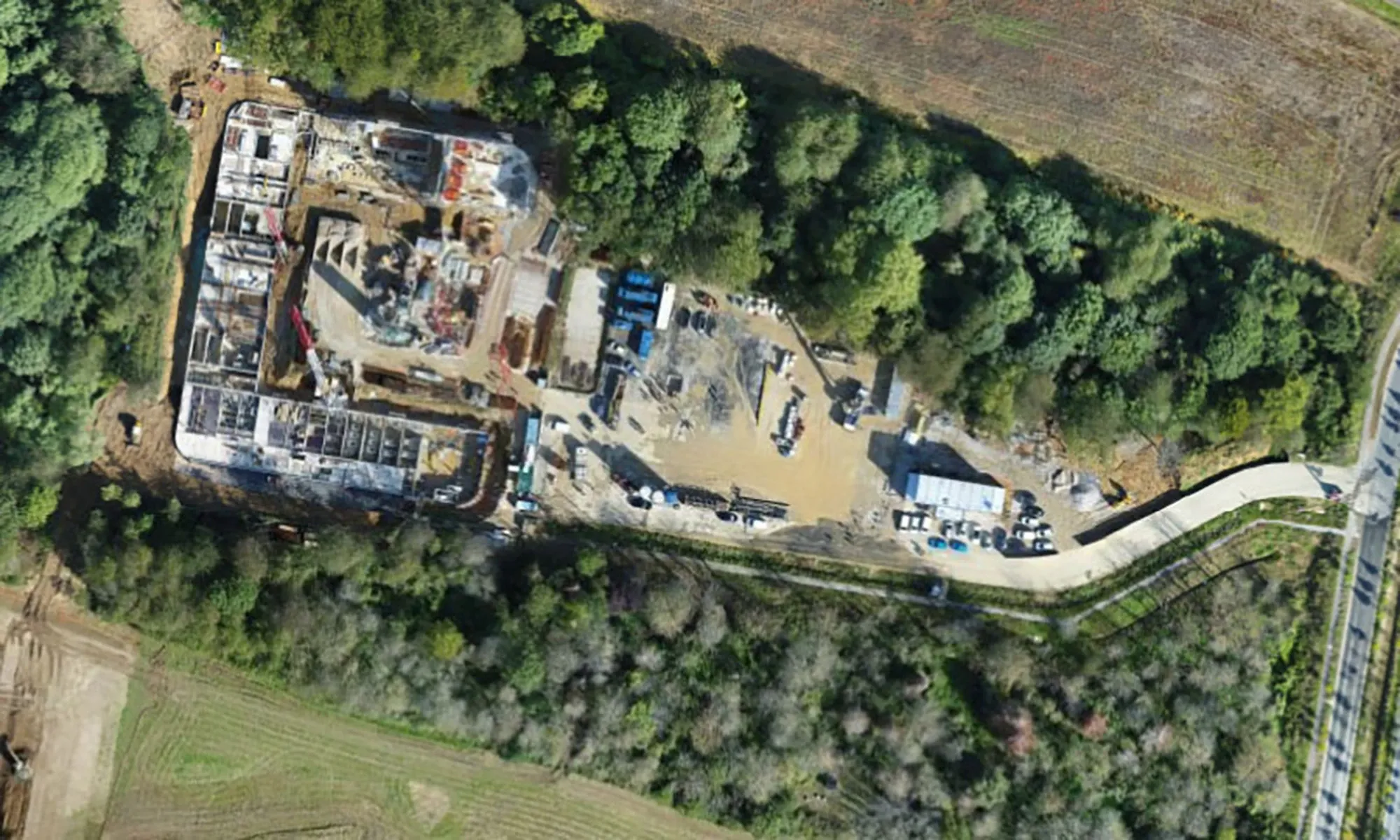
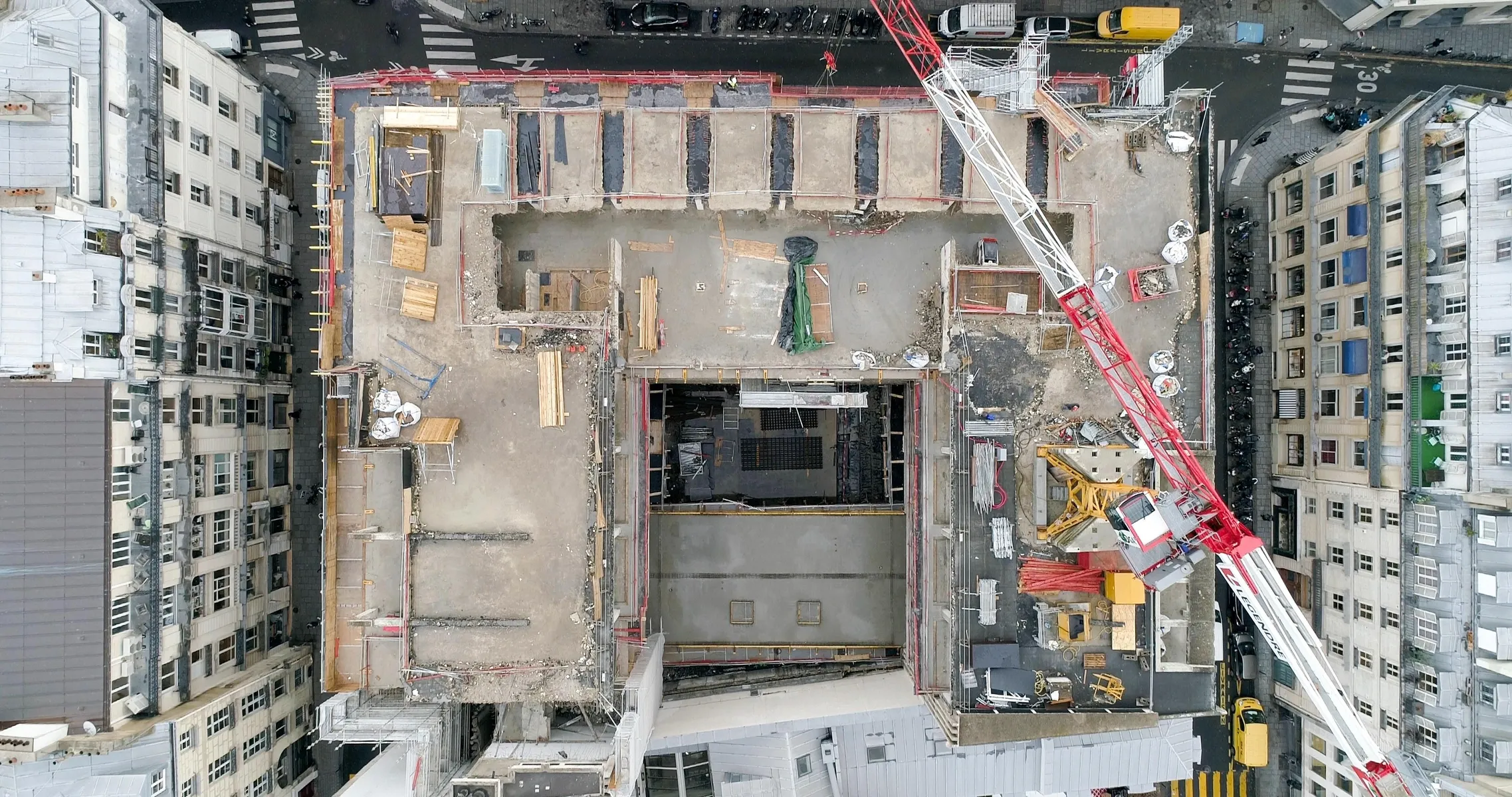
Visualize, control and archive the progress of your worksites with our drone and 3D scanner tracking solutions.

DRONE SITE MONITORING

Our drones enable you to monitor every stage of a project, from preliminary studies to the lifting of reservations, providing regular mapping, digital twins and virtual visits. These collaborative tools make it easier to detect defects, anticipate delays and communicate with your teams and customers. For your renovation or restructuring projects, our solutions generate plans and digital media compatible with BIM models, optimizing work management and coordination.

Subjects that may interest you
See more
>
SEARCH FOR FIRE CAUSES AND CIRCUMSTANCES

Access, visualize and model a fire or explosion scene to investigate its causes and circumstances.

DISCOVER
TOPOGRAPHIC SURVEY

Get precise data on natural and man-made landforms with our time-saving drone topographic surveys for large areas.

DISCOVER
THERMOGRAPHY

Combine the agility of a drone with the precision of infrared thermography for a complete analysis of the thermal envelope of your buildings and infrastructures.

DISCOVER
GET YOUR QUOTE NOW
A SAFETY-SEAM STUDY IS CARRIED OUT FOR EACH CASE
I GET MY QUOTE
DO YOU HAVE A QUESTION?
WE ANSWER
Does Dronotec operate exclusively in France, or does it offer
services internationally?
On average, how long does a drone inspection
take?
What needs does Dronotec meet?
ACCESS THE F.A.Q
Thank you! Your submission has been received!
Oops! Something went wrong while submitting the form.