Share


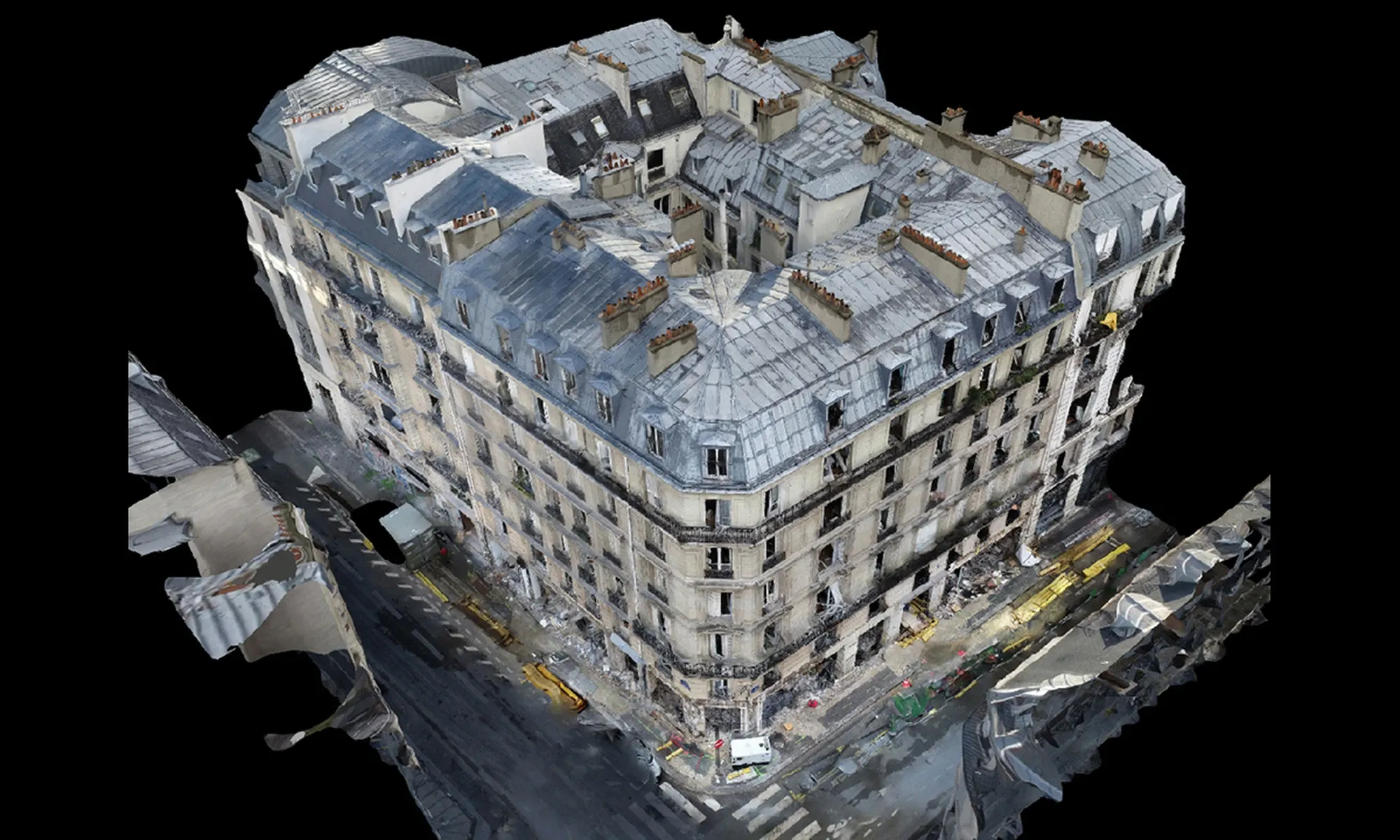
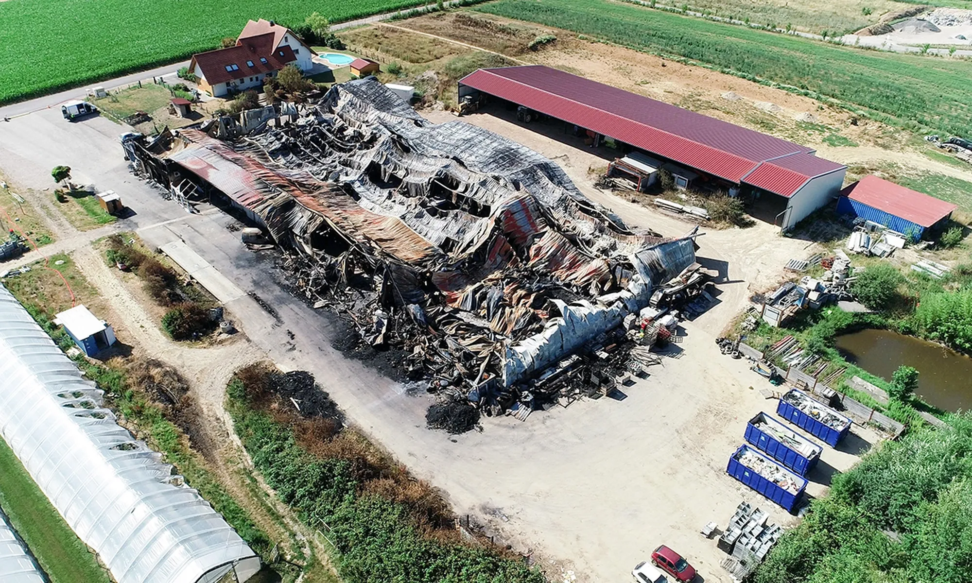
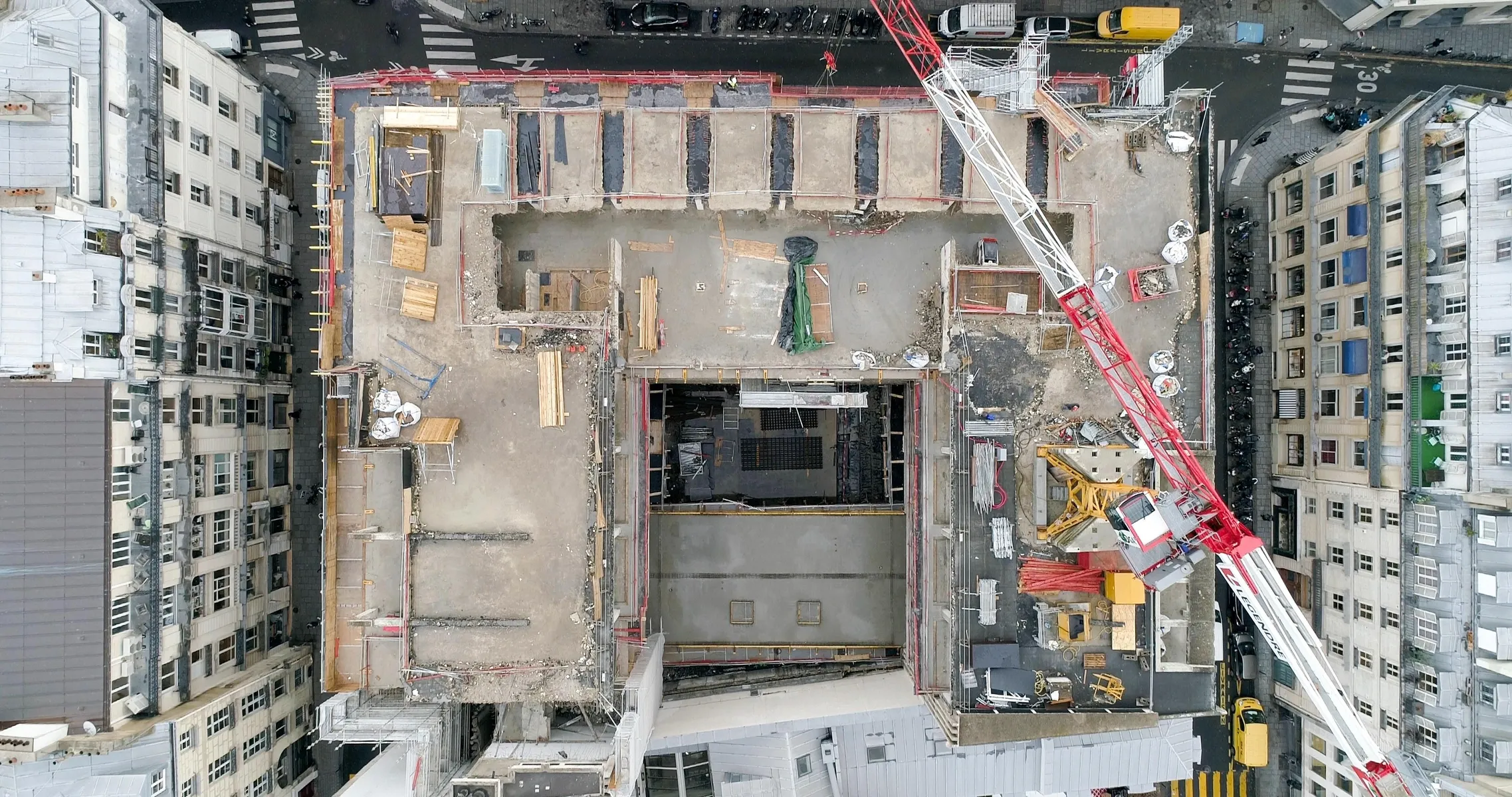
Get precise data on natural and man-made landforms with our time-saving drone topographic surveys for large areas.
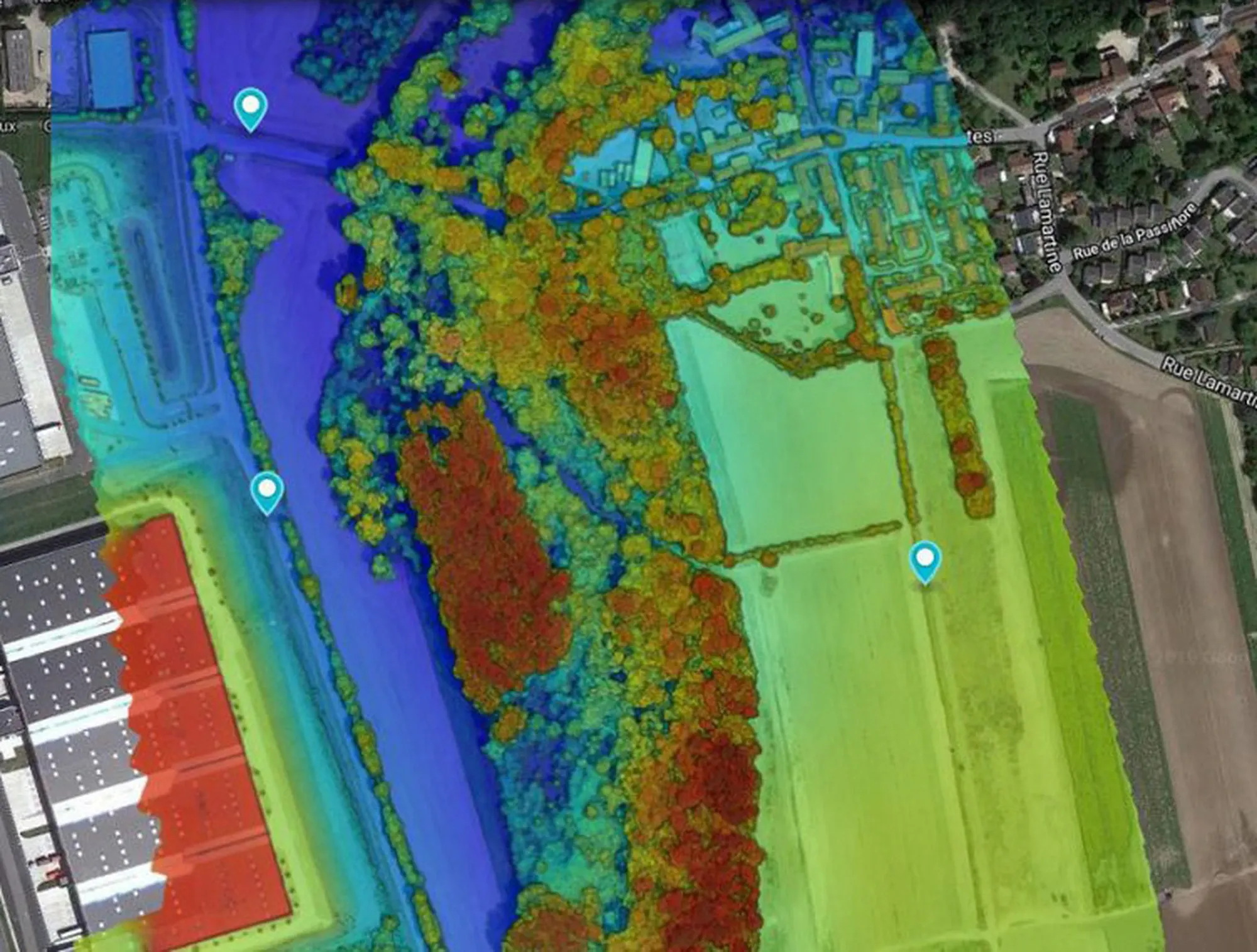
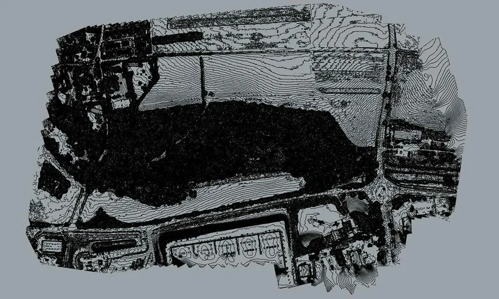
Precise data for your projects
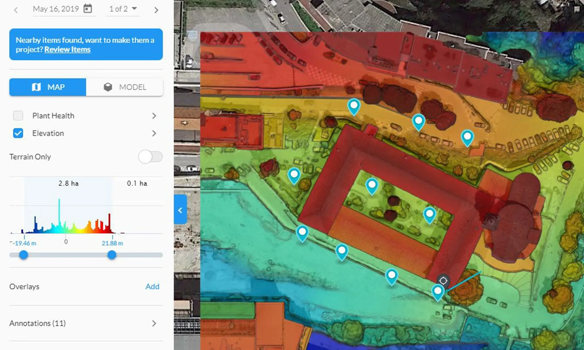
Using drones equipped with RTK GPS and geo-referenced markers, we carry out precise topographic surveys with centimetric accuracy in altimetry and planimetry. Captured data can be used to reconstruct orthophotos and export DSM/DTMs, elevation curves, linear and cubic measurements, as well as scale plans. These solutions are ideal for analyzing surfaces of up to 300 hectares per day, optimizing time and resources for your projects.
.webp)