Need a quick quote? Call us on +33 1 77 23 36 83
DRAWING AND DIGITAL MODEL CREATION

3D MAPPING AND MODELING

cartography-and-3d-modeling

Produce technical support for your missions with our mapping and 3D modeling solutions using drone and scanner.

An asset for your management projects

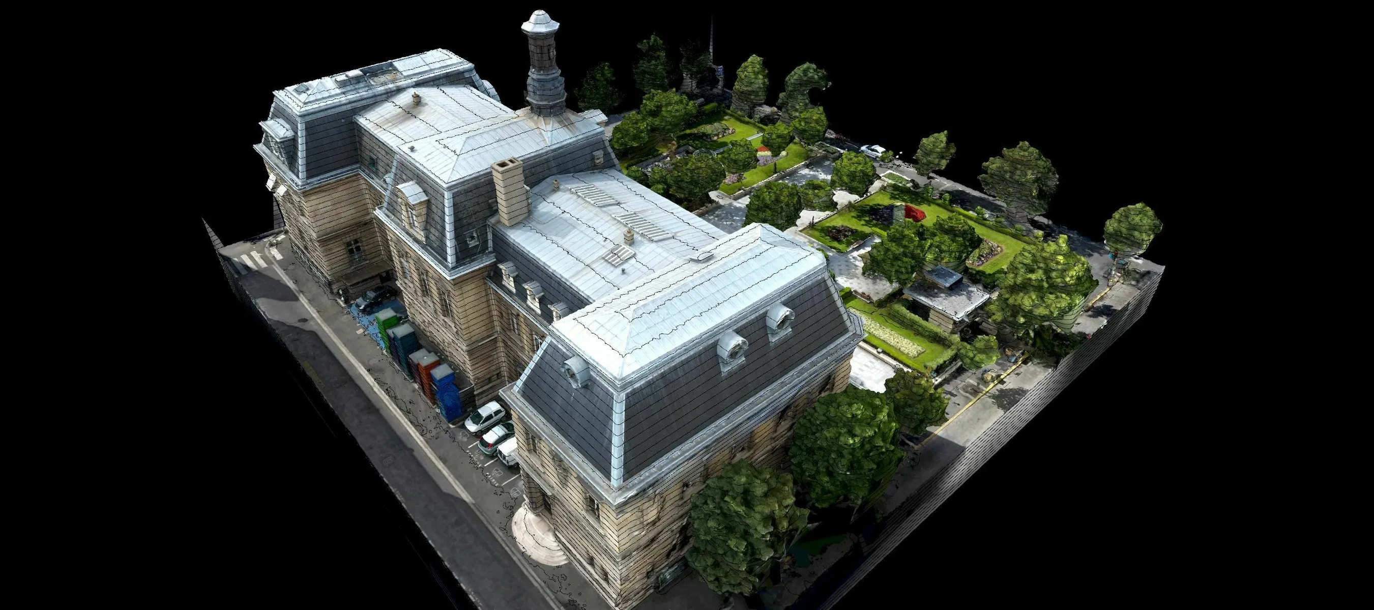
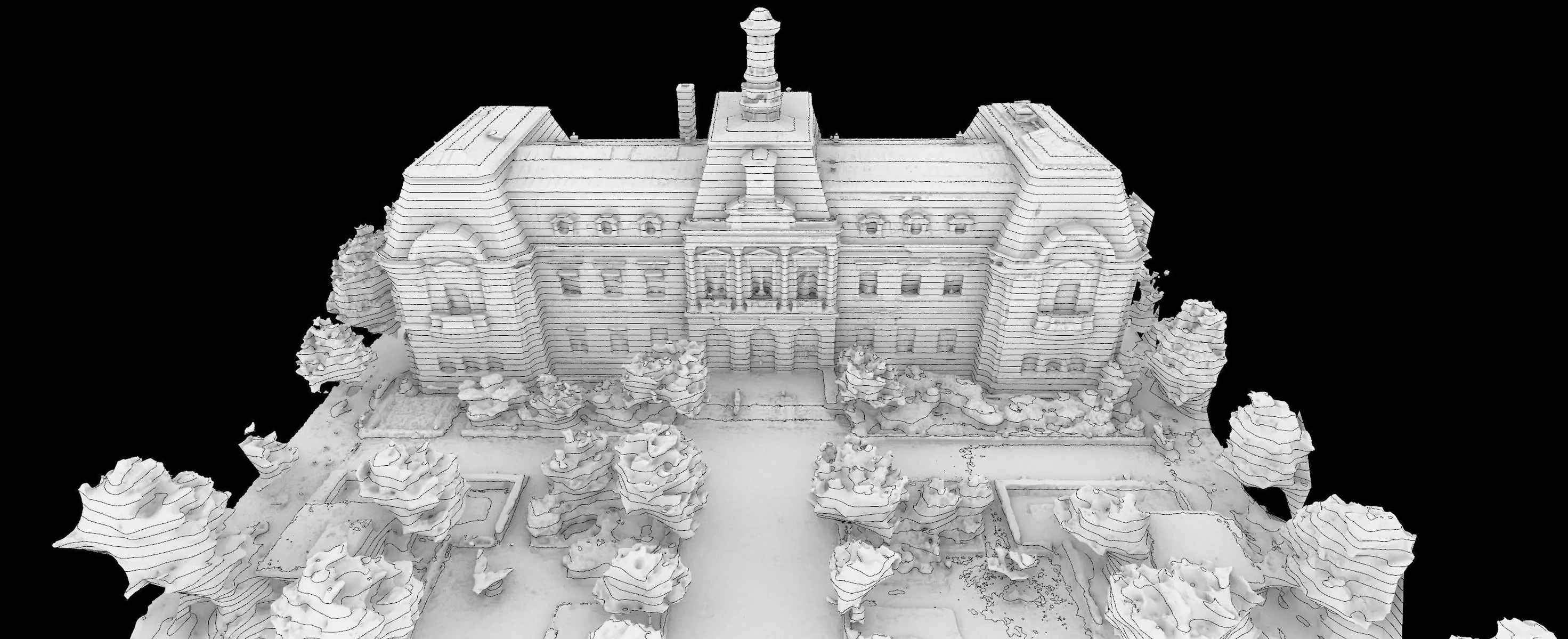
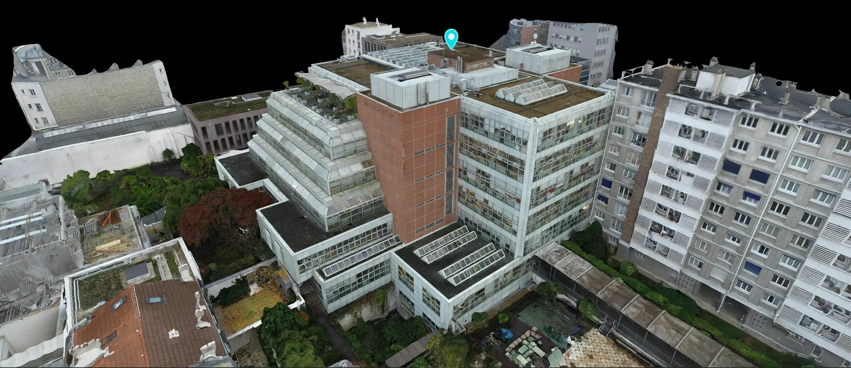
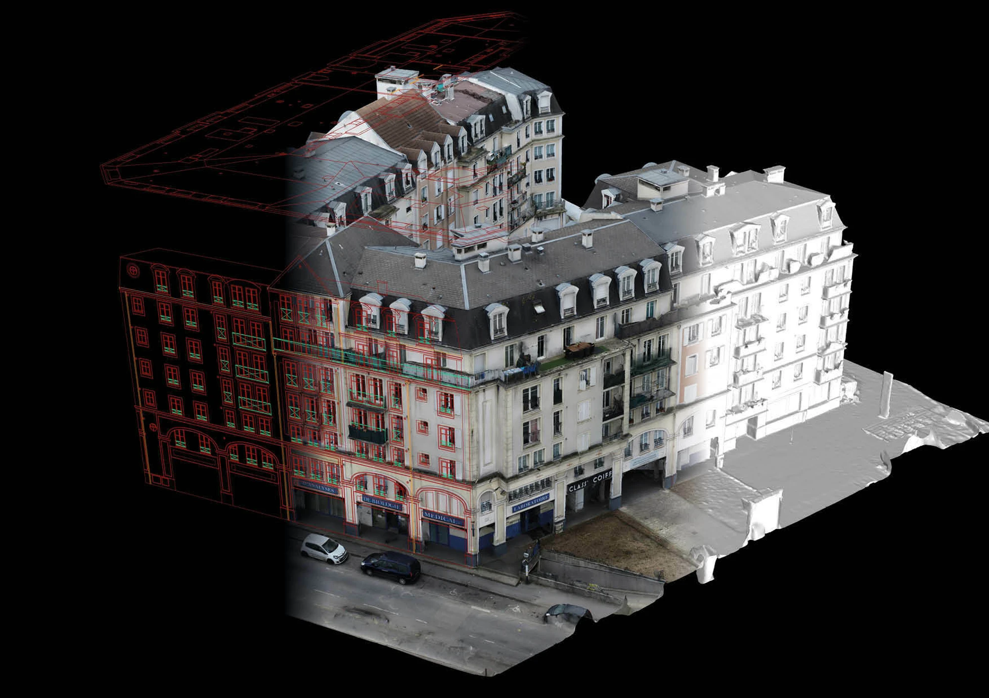
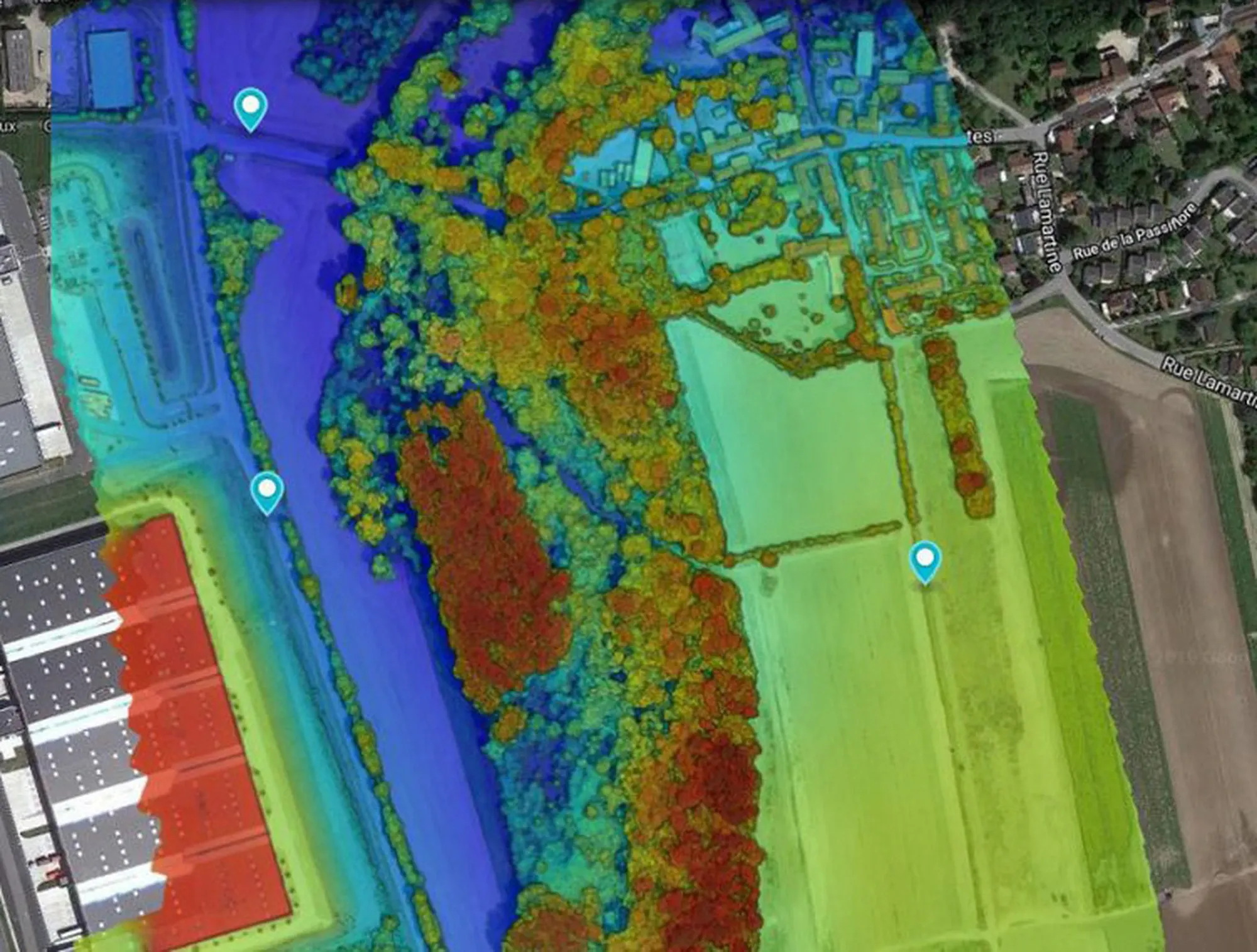
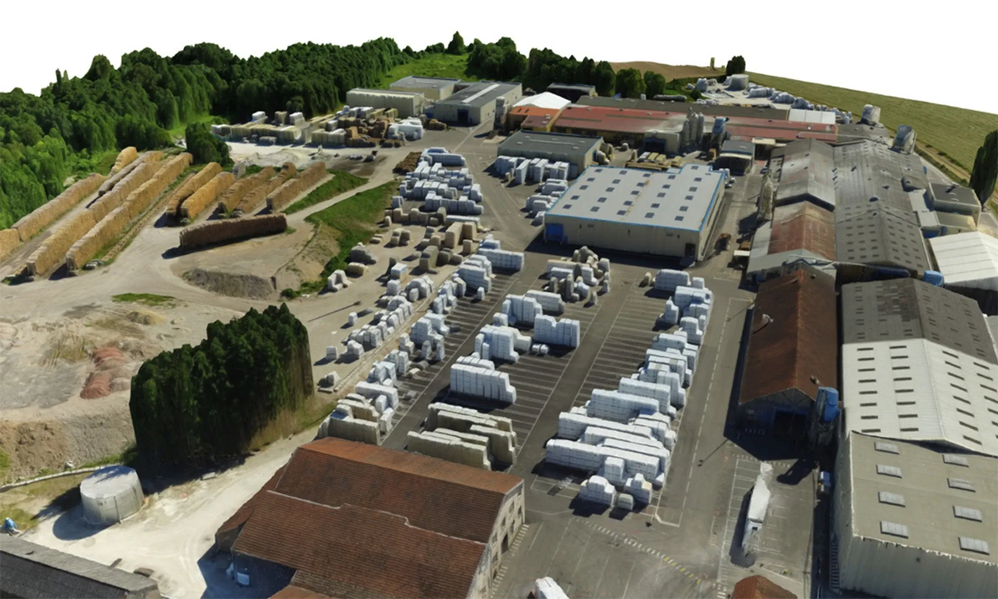
Our 3D mapping and modeling tools enable us to digitize land, buildings and infrastructure to produce precise topographic surveys, façade and roof plans, and digital twins. These deliverables are compatible with BIM, CAD and CAD software, facilitating project integration and management by our customers. Immersive virtual tours and GIS data are also available for efficient sharing and collaboration.

Subjects that may interest you
See more
>
2D AND 3D BIM PLAN PROJECTION

Create or recreate your plans using aerial and/or ground-based laser imagery, thanks to our solutions for new-build, renovation and refurbishment projects.

DISCOVER
TOPOGRAPHIC SURVEY

Get precise data on natural and man-made landforms with our time-saving drone topographic surveys for large areas.

DISCOVER
WAREHOUSE INSPECTION AND INVENTORY BY DRONE

Instantly visualize the state of maintenance of your warehouses and facilitate your rack inventories with fast, economical and secure solutions.

DISCOVER
GET YOUR QUOTE NOW
A SAFETY-SEAM STUDY IS CARRIED OUT FOR EACH CASE
I GET MY QUOTE
DO YOU HAVE A QUESTION?
WE HAVE AN ANSWER
DOES DRONOTEC OPERATE ONLY IN FRANCE
OR DOES IT OFFER INTERNATIONAL SERVICES?
HOW LONG DOES IT TAKE ON AVERAGE FOR A
DRONE INSPECTION?
WHAT IS THE LIFETIME OF THE DATA AND IMAGES
PROVIDED BY DRONOTEC?
ACCESS THE F.A.Q
Thank you! Your submission has been received!
Oops! Something went wrong while submitting the form.